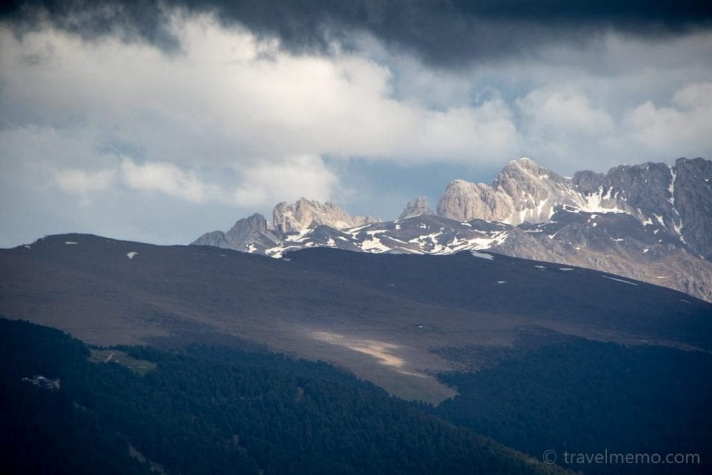
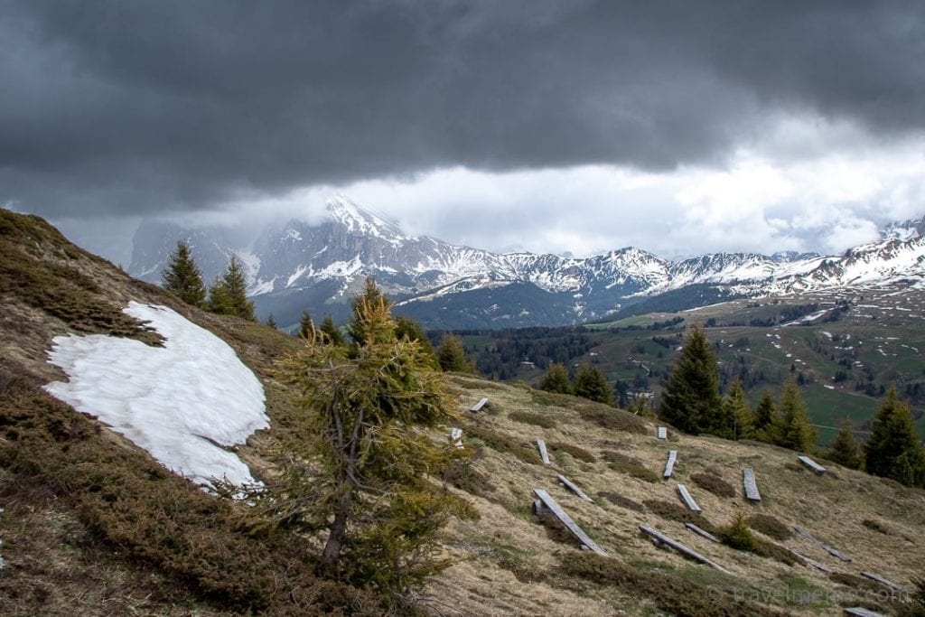
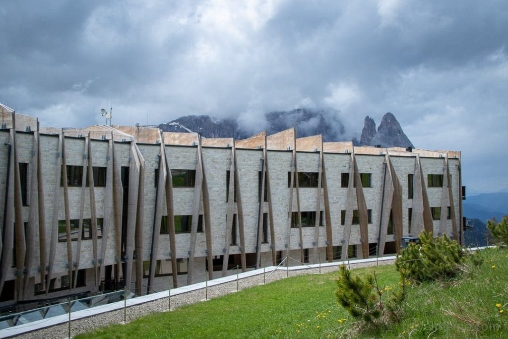
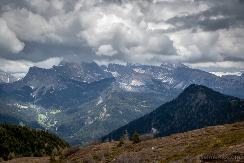
On a recent visit to the new tree house hotel My Arbor in South Tyrol’s Brixen, we used the opportunity to explore the spectacular rock formations, surrounding valleys and alps of the Dolomites, listed by UNESCO as a World Heritage site. Here is some of what we saw on a sunny day:
Gröden Valley – Val Gardena
Gröden Valley branches off Eisack Valley and is located in the northwest Dolomites. It offers countless hiking trails, via ferratas, mountain biking routes and mountain lakes.
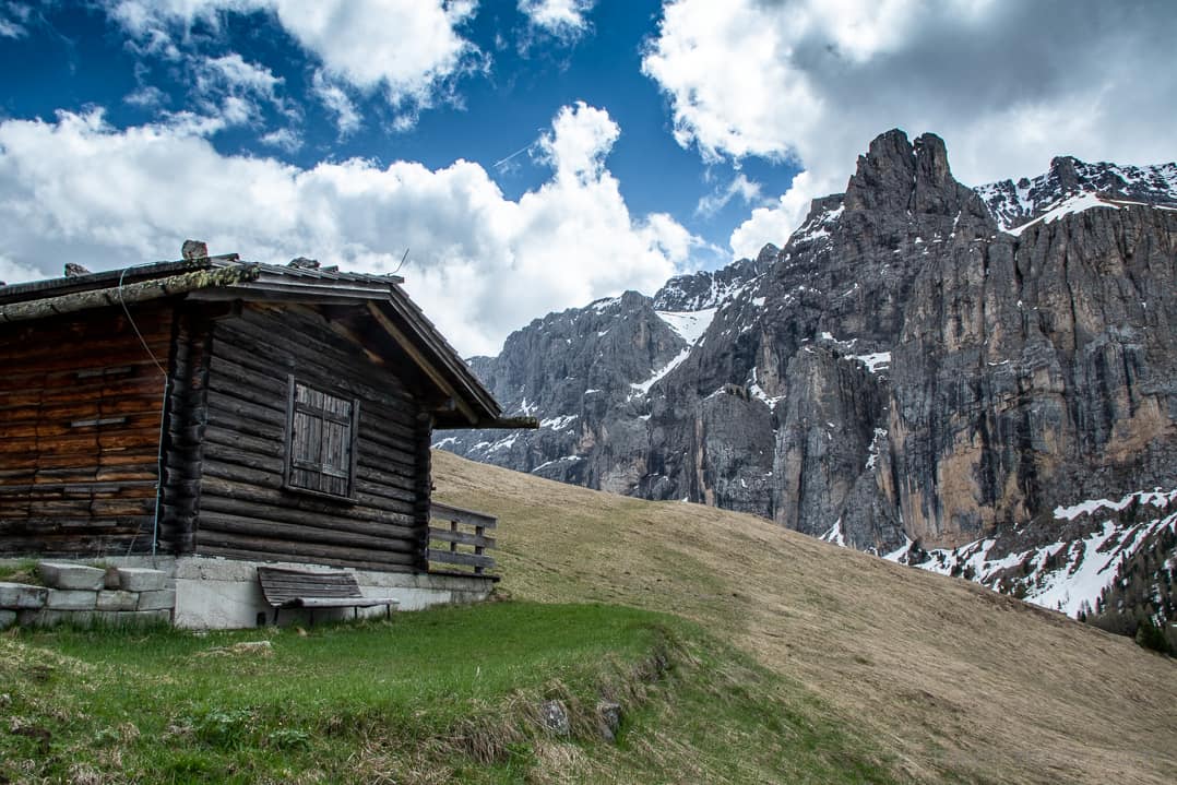
The rock walls and bizarre limestone formations with their often nearly vertical faces are endlessly fascinating.
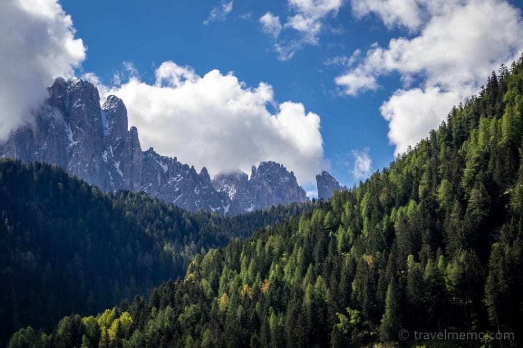
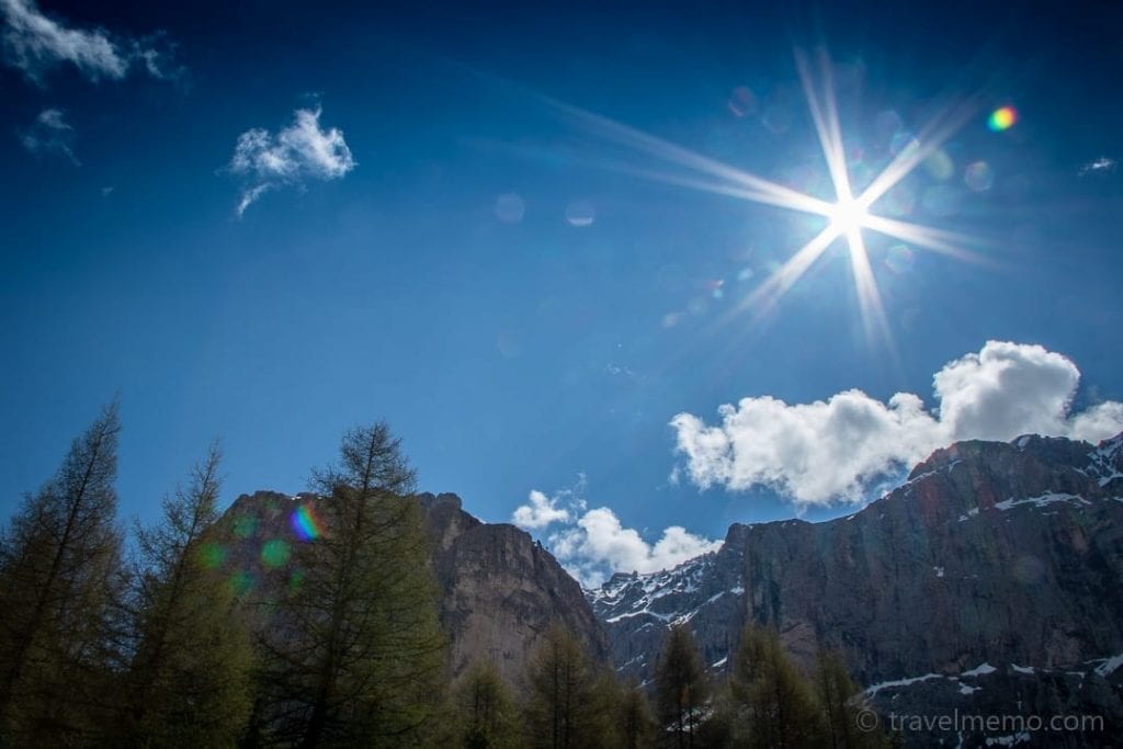
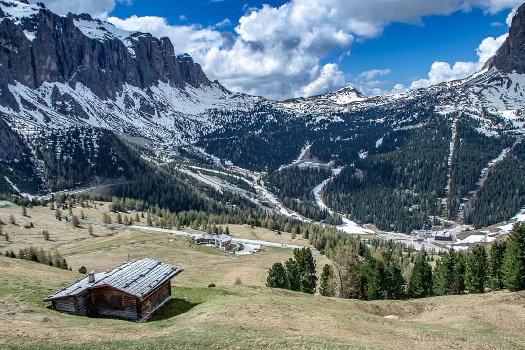
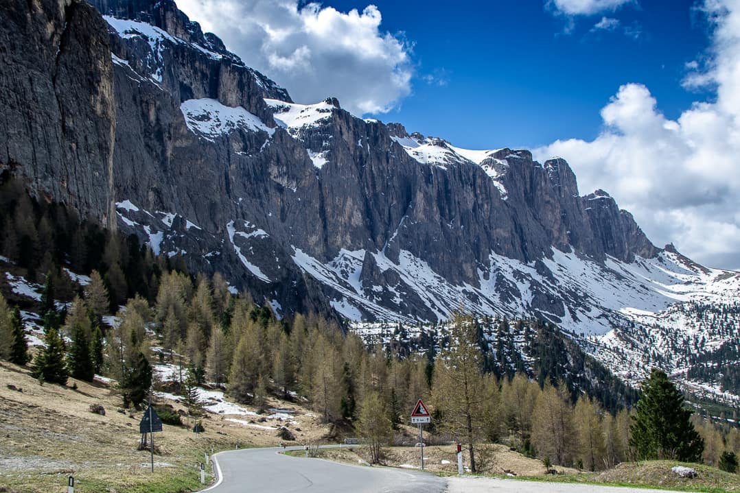
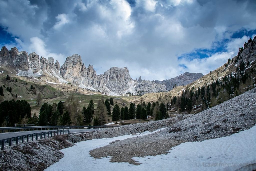
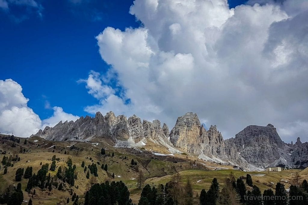
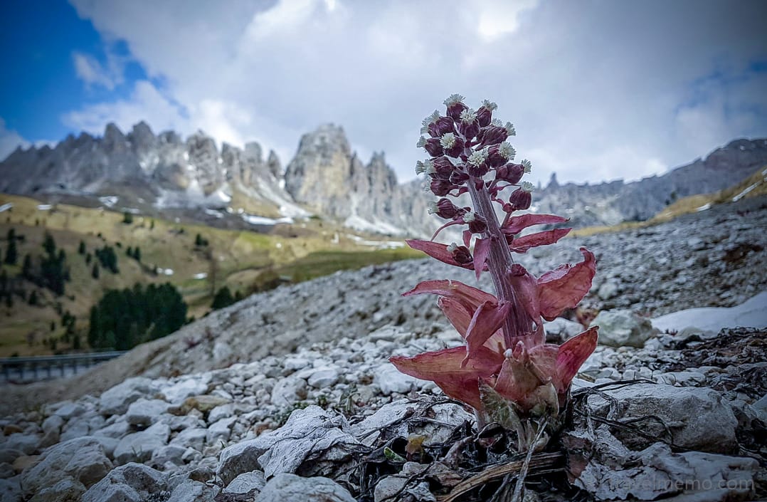
We drove through the Grödner Joch (English: Gröden Pass; Italian: Passo di Gardena). The pass lies at 7,000 feet between the majestic Sellastock massif to the south and the Cir Peaks in the north. The view of the Cir Peaks soaring heavenward is simply enchanting. We were nothing less than overwhelmed the whole time by the picture book landscape formed by the surrounding mountains and the Sella Massif.
An uncomplicated hike — but one with plenty of vistas — is the Gröden Pass-Dolomites high route. This one-hour walking loop is a fine way to “stretch your legs” when driving over Gröden Pass.
Here, in what is really the heart of the Dolomites, uncounted other hiking routes have their start. You can find all the information about them on the www.valgardena.it website or on www.dolomitesalpine.it with its interactive map.
The Seiser Alp
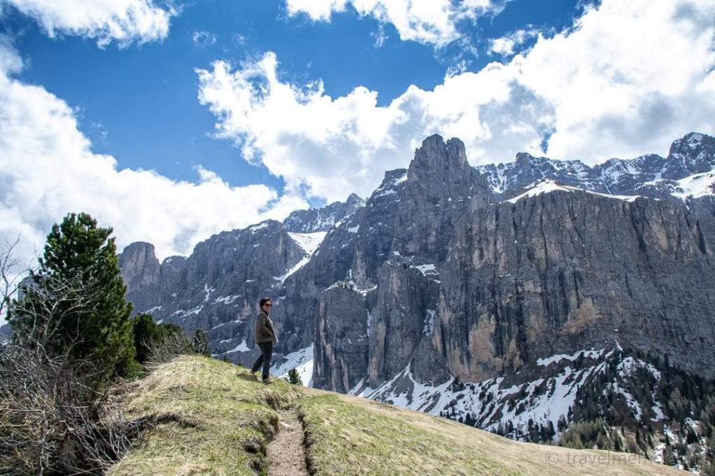
The Seiser Alp (Alpi di Siusi in Italian) is located about 20 miles southeast of Brixen. It is Europe’s largest high alp. The view of the surrounding Dolomite peaks is fantastic, and the 280 miles of hiking paths on the high plateau come in all shapes and distances.
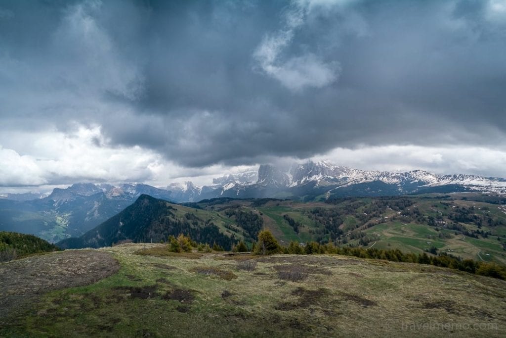
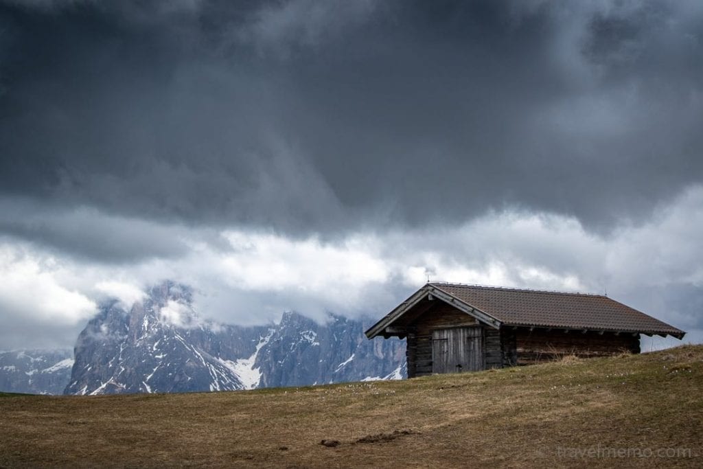
The cool thing is that there is something here for every taste. Whether it’s athletic hut trekking, an eventful theme hike, or a comfortable walk, the choice of route is yours, depending on stamina, technique and available time.
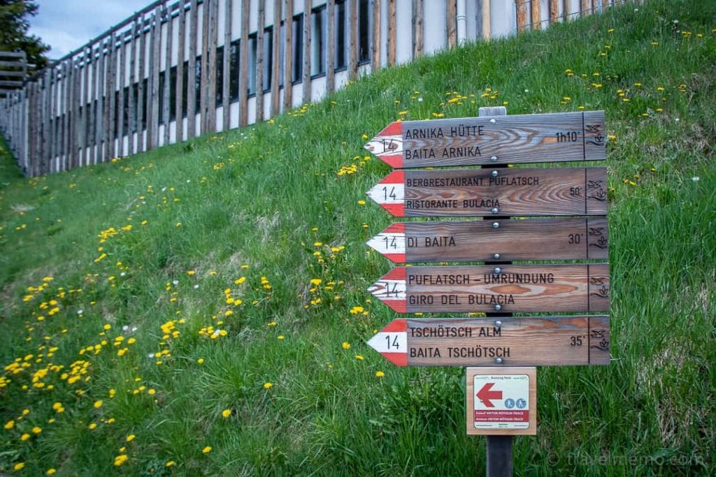
We decided on the Puflatsch loop walk. It starts right by the mountain station of the Seiser Alm cableway in Compatsch and offers many unforgettable vista points. Really special is the Engelrast (“Angel’s Rest”) viewing platform, from which you can admire no less than 53! 10,000-foot peaks (with good weather and visibility).
On the platform sits a walkable round plaza with a circular steel plate in its middle on which each of the peaks visible from here is reproduced, with the respective names engraved next to each.
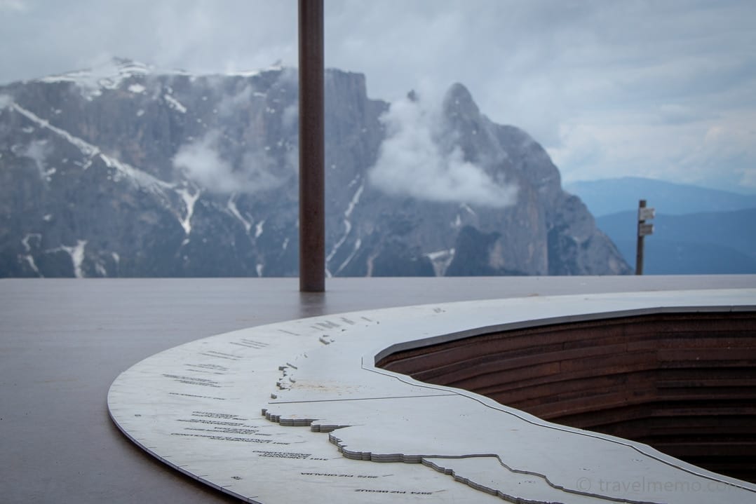
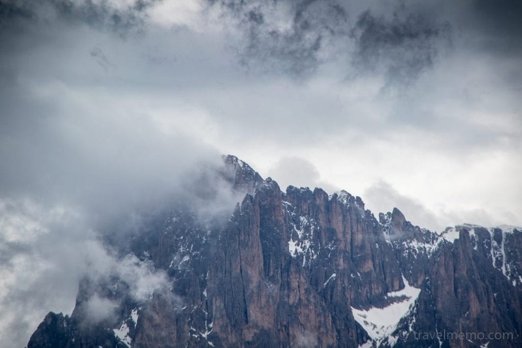
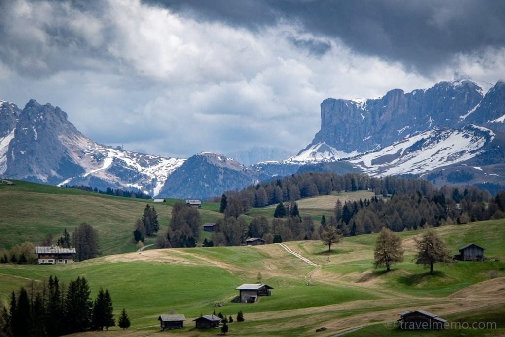
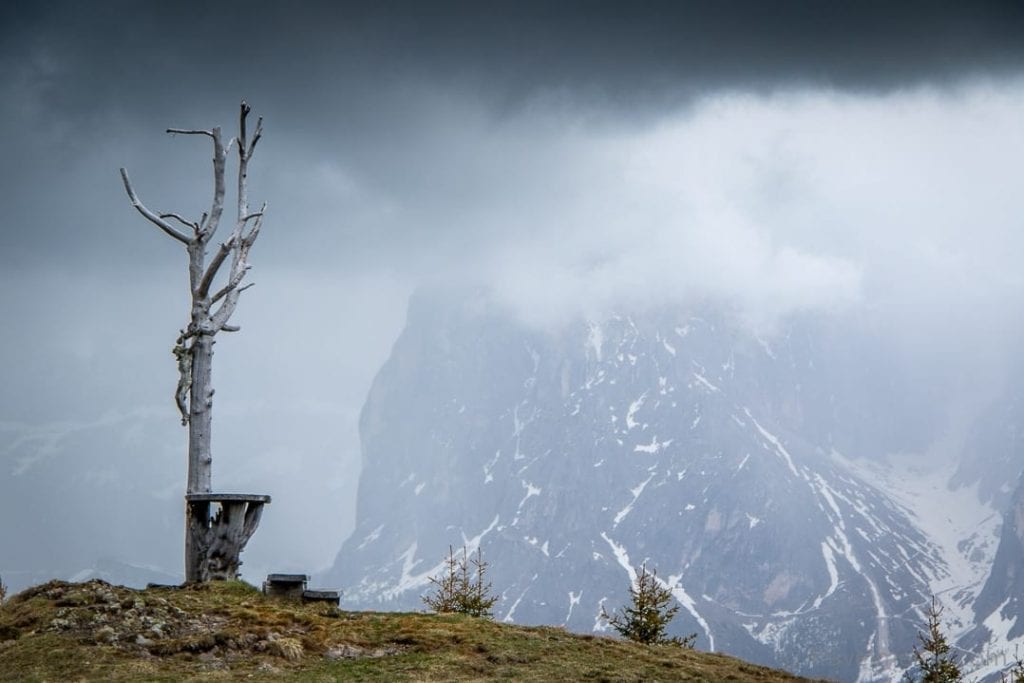
To do the complete Puflatsch loop, allow at least three hours, especially if you like taking pictures.
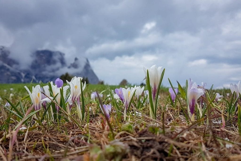
You can find out all about the Seiser Alp on the www.seiseralm.it website.
Kastelruth golf course in the heart of the Dolomites
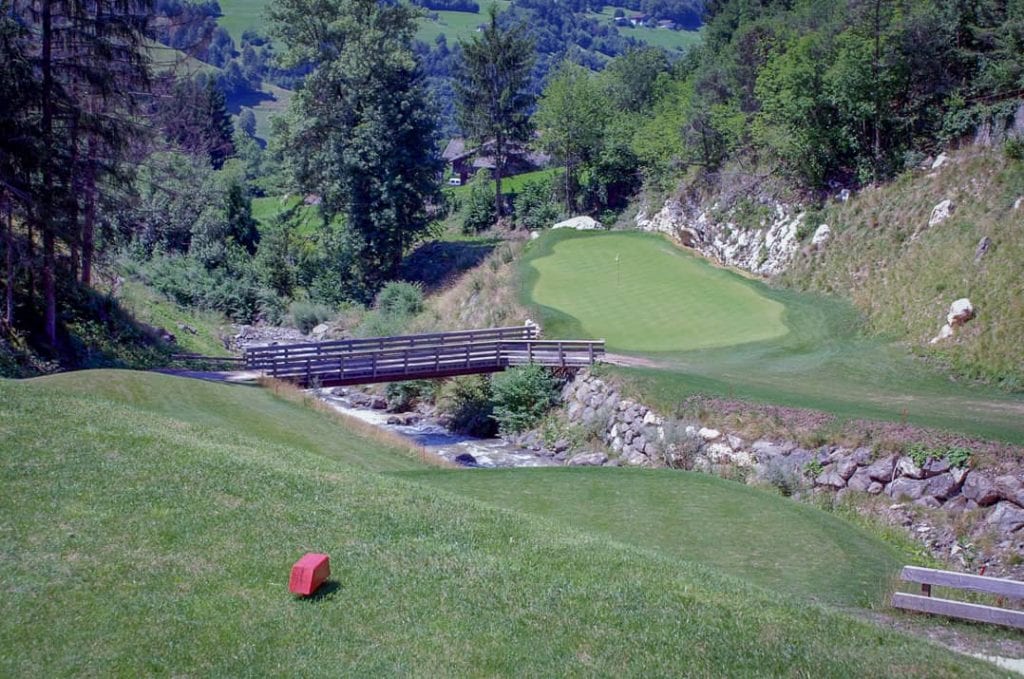
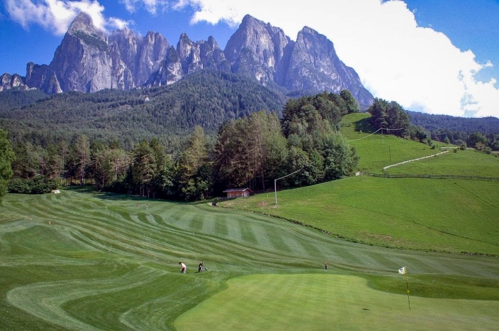
Kastelruth can boast of one of South Tyrol’s most beautiful golf courses!
The location on the ca. 2,800-foot high plateau and amid the Dolomites is idyllic.
But this is a demanding course: you really have to concentrate to not let yourself be continually distracted by the picturesque scenery of the Seiser Alp…
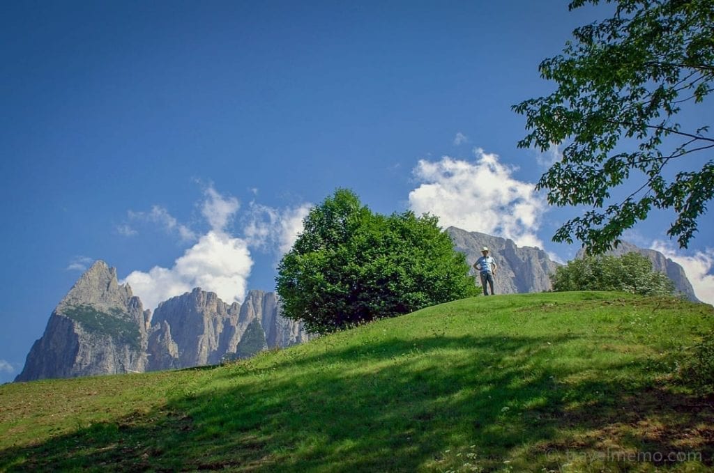
Be advised, the course has its ups and downs…literally. On our first visit, we did it on foot. On the next visit, we did it the easy way…after all, we are capable of learning.
Address:
Golfclub St.Vigil Seis
Seis / St. Vigil 20
I-39040 Kastelruth
Webseite: www.golfstvigilseis.it

